

Skyline Watershed Ridge Trail
The Skyline Watershed Ridge Trail is now open! A free annual permit is required. Before your visit, get your permit, review answers to frequently asked questions and use the trail map to plan your trip.
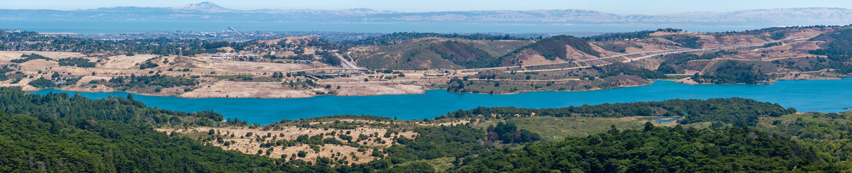
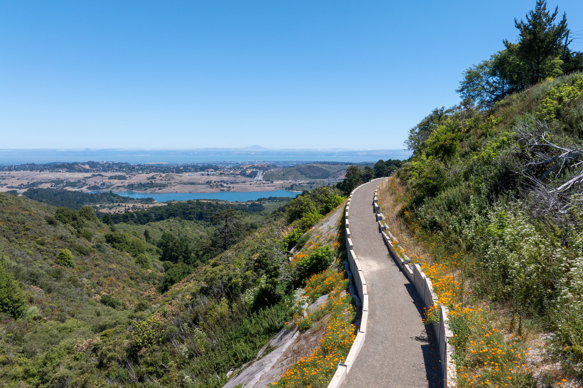
The SFPUC is proud to introduce the Skyline Watershed Ridge Trail, a new 6‑mile segment of the Bay Area Ridge Trail located in San Mateo County. This trail provides sweeping views of the Peninsula Watershed’s reservoirs, shrublands, and forests.
This new stretch, formerly known during construction as the Southern Skyline Ridge Trail Extension, extends from Highways 35 and 92 to the Phleger Estate boundary, with a future connection planned to Purisima Creek Redwoods Preserve. As part of the larger Bay Area Ridge Trail network, it contributes to a regional vision of a continuous ridgeline trail throughout Bay Area counties that connects people, parks, and open spaces. The Bay Area Ridge Trail Council has been an essential partner in championing and advancing this project.
The Skyline Watershed Ridge Trail welcomes hikers, bikers, runners, and equestrians into the Peninsula Watershed, offering opportunities to learn about the Hetch Hetchy Regional Water System, watershed stewardship, and the diverse species protected within the 23,000‑acre landscape.
Plan Your Visit
- Permit: A free, annual permit is required to visit the trail through a simple application process. Permits are available for immediate use, valid for the calendar year, and cover up to 6 people in a group.
- Trailhead schedule: Trail hours are 6 am to 6 pm.
- Restrooms: Vault toilets are located near mile markers 2 and 5 and only accessible from the trail. There is no restroom at the trailhead.
- Water: No potable water is available on the trail.
- Pack out all trash: There are no picnic tables or trash cans along the trail.
- Learning: Explore interpretive panels along the trail to learn more about the Regional Water System and Peninsula Watershed.
- Dogs: To protect the watershed's natural resources and water quality, no dogs are allowed.
- Bicyclists: Motorized vehicles are prohibited, including motorized or electric bikes or scooters. The road surface is crushed rock. Bikes suitable for mountain terrain are recommended.
- Review the Frequently Asked Questions
How to Get There
The Skyline Watershed Ridge Trailhead is located on Highway 35 (Skyline Boulevard), just south of the Highway 92 intersection and Skylawn Memorial Park.
- From the North: From the Highway 92 and Highway 35 intersection, travel south on Highway 35 for approximately 0.10 miles. The parking area will be on your left.
- From the South: From the Highway 84 and Highway 35 intersection, travel north on Highway 35 for approximately 12.3 miles. The parking area will be on your right.
Parking
- Parking is free and available on a first-come, first-served basis. The parking at the trailhead includes 22 standard vehicle spaces, five trailer spaces and two ADA-accessible spaces.
- All trail users should use designated trailhead parking spaces or other safe and legal parking areas.
- Please follow all posted parking regulations. There is no dedicated crossing of Highway 35 or 92.
- Please watch for pedestrians, do not block gates and access routes, and do not park in vegetation (vehicles parking in vegetation creates a fire hazard).
About the Trail
- Length: This is an out and back trail with no outlets or connections to neighboring park sites. The trail is 6 miles one way, 12 miles round-trip.
- Elevation: From north to south, the trail has a net elevation change of approximately 1,200 feet (total elevation change of 1,800 feet, gain of 1,500 feet and loss of 300 feet).
- Surface Conditions: The trail is a 6ft wide, multi-use trail made of crushed rock. Running slope ranges from 6% to maximum 23.5% with a typical cross slope of 2%, 5% maximum.
- Universal Access: For those with differing abilities, visit the Watershed Discovery Trail. This half-mile, accessible trail is located just north of Skylawn Memorial Park.
- Future Connections: A connection to Purisima Creek Redwoods Preserve North trailhead is in the planning stages. Learn more by contacting the Midpeninsula Open Space District.
- Access the trail map
- Access the elevation profile
-
About the Peninsula Watershed
The Peninsula Watershed protects four drinking water reservoirs and is home to some of the Bay Area’s most intact native habitats. Located in San Mateo County 13 miles south of San Francisco, the Peninsula Watershed spans 23,000 acres of forested ridges coastal scrub, and native grasslands that harbor over 165 species of birds, 800 species of plants and trees, 50 species of mammals, and 30 species of reptiles and amphibians. The watershed is a State-designated Fish and Game Refuge and a protected area within the UNESCO Golden Gate Biosphere Reserve.
-
Contact
Questions? Please contact us at ridgetrail@sfwater.org.